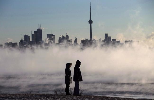
A strong and widespread air pressure system coming from the U.S. will bring snowfall, wind, and icy conditions to several Canadian provinces this week, an Environment Canada meteorologist said Tuesday.
Steven Flisfeder said the low atmosphere pressure system -- known as the Colorado low -- typically forms east of the American Rockies before making its way northeast, towards the Great Lakes.
"The impacts associated with it are going to be widespread," he said in a phone interview.
"It's gonna be touching anywhere from far southeastern Saskatchewan all the way to the Maritimes. As the system progresses eastward, southern Quebec will be affected before it finally makes its way toward New Brunswick and Nova Scotia."
Environment Canada issued special weather statements Tuesday for much of southern Ontario and parts of northern Ontario.
The weather agency said flurries will begin falling on Thursday and last through Friday evening, with the affected areas in the south spanning from Windsor all the way east to Cornwall and as far north as Grey-Bruce and Pembroke.
Some of those communities will get five centimetres of snow while others will accumulate up to 25 centimetres by Saturday morning.
In northern Ontario, Environment Canada said Cloud Bay, Dorion, Kakabeka Falls, Whitefish Lake and Arrow Lake can expect between 20 and 40 centimetres of snow starting Wednesday afternoon and lasting into Friday.
Thunder Bay is set to see 10 to 20 centimetres while Sault Ste. Marie and other parts of the northeast are expected to see wind gusts up to 80 km/h.
As the Colorado low storm system travels over Lake Superior, it could intensify the weather and drop up to 45 centimetres of snow in areas southwest of Thunder Bay, Flisfeder said.
Special weather statements have also been issued for parts of Saskatchewan, Manitoba, Quebec, New Brunswick, Nova Scotia, Newfoundland and Prince Edward Island.
But despite how widespread the storm is, Flisfeder said it isn't atypical.
"It's totally normal for this time of year and will likely happen several more times throughout the winter," Flisfeder said.
In its statements, the weather agency warned people in some regions to consider postponing non-essential travel during the storm, as the heavy snow will reduce visibility and create hazardous travel conditions, and to be prepared for possible power outages.
Flisfeder said locals should stay indoors during the more intense parts of the snowfall if they can.
"If you do have to be on the roads, good idea to give yourself extra time to get to where you're going," he said.
He also said there's always a chance weather statements can be upgraded to warnings and advised the public to keep an eye out for updates.
This report by The Canadian Press was first published Dec. 13, 2022.
Fakiha Baig, The Canadian Press


