Alberta saw record-breaking weather events in 2023, from heat and unrelenting drought to land spouts and floods. And the general consensus from meteorological experts is that climate change is well underway.
“This December was pretty solidly in first place as the warmest December on record (for the Edmonton region) followed by Calgary, Fort McMurray, Lloydminster and Medicine Hat. Edmonton had the warmest year on record, with the average mean temperature in December at 6.4 C. The 30-years normal between 1981 and 2020 was 4.2 C,” said Alysa Pederson, warning preparedness meteorologist for Environment Canada.
“There's only a 2.2-degree difference, but it’s significant. When we bring it together with the big picture of the globe, it shows climate is changing. This doesn’t mean we won’t have cold breaks. Warm and cold trends show up every year, but this year’s warm trend has had significant impact on agriculture and food production as climate changes,” Pederson said.
January 2023 started with nine days hitting temperatures above zero. It was cold but dry, with only 10 per cent of normal precipitation. February warmed up with 13 days above 0 C but remained dry. March, however, was very cold and drier than normal with only 2.2 millimetres of precipitation. March usually sees 15.8 millimetres.
April was relatively moderate; however, May “was super warm, super-fast. We saw three heat waves and set record highs. There was a total of 224 record highs set throughout the province in May.”
The Edmonton region set record-breaking high temperatures of 32.5 C while Fort McMurray set its record of 31.9 C on May 4. These were the highest recorded readings for those cities since temperatures were first documented in 1880.
The dry ground from lack of winter snow, rapidly escalating temperatures and high winds created a set of “tinderbox conditions” ripe for wildfires. They started in March, and by May and June tens of thousands of people from Drayton Valley, Fox Lake, Grande Prairie, Yellowhead Country, Parkland County, Lac Ste. Anne County, Little Red River Cree Nation, Cold Lake First Nation, Leduc County, Edson and Beaver Lake Cree Nation were evacuated from their homes.
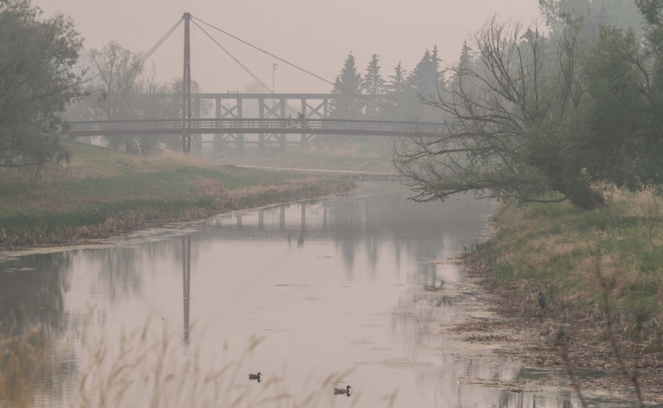
Wildfire smoke blanketed the summer across Alberta. Edmonton recorded 259 smoke hours logged at the Edmonton International Airport from fires burning in Northern Alberta. The poor air quality prompted cancellations of several summer events including one night of outdoor comedy festival, a national youth football tournament, a pool opening, and multiple outdoor markets.
“Smoke visibility is determined if you look out and see 7.5 kilometres (five miles) or less.”
The region was lucky in comparison to Calgary, which nearly doubled those numbers, clocking 512 smoke hours. It smashed the 2018 record of 450 hours. Although Southern Alberta had fewer wildfires on its doorstep, it received a double whammy of thick haze drifting from Northern Alberta and British Columbia causing poor visibility and health issues.
In June, winds shifted carrying much-needed rain. In three days west of Edmonton, 170 millimetres of precipitation were recorded. Edson was evacuated three times: twice for wildfires and once for flooding.
“When you have a low snowpack and everything dries out, the ground becomes hard and it reduces the ability to absorb water,” Pederson explained. “Edmonton received 150 millimetres of precipitation. That’s 194 per cent of normal year's. It was the eighth-wettest June on record.”
“We had dry, dry, dry to start the year and wet-wet-wet due to a low-pressure system moving across Alberta. It was great for gardens and agriculture, but everywhere south of Red Deer and southeast of Calgary, there was substantial drought.”
On July 1, an EF4-rated tornado smashed through a rural area between Didsbury and Carstairs. Travelling at a windspeed of 275 km/h, the powerful winds tossed and crumpled a 10,000 kilogram farm combine, levelled several houses and made several others uninhabitable. Fortunately, there were no fatalities.
August rolled in with high temperatures, roaring fires, poor air quality, and the occasional land spout in Southern Alberta. The season’s first frost usually appears in September. But in 2023, the first frost was delayed into October.
“It was the eighth-warmest September In Edmonton. There was a big upper ridge that came from California. It was typical of an El Niño.”
The month of October was ideal for anyone celebrating Halloween outdoors. The weather was equally warm and dry with three millimetres of precipitation recorded. The average precipitation is 21.7 millimetres and the first frost did not appear until Oct. 22.
On the flip side, by the time the official wildfire season ended in October, officials at the Minsitry of Forestry and Parks logged a staggering 2.2 million hectares destroyed by wildfires. It surpassed the yardstick set in 1981 when 1.3 million hectares were scorched.
November was also one of the driest measuring only trace amounts of flurries. It held the distinction of being the 14th warmest on record. The daytime high didn’t go below zero until Nov. 22.
Instead of white December snow covering the landscape, Alberta faced a brown, grassy panorama. Pederson noted La Niña has affected Alberta’s weather patterns the last three years, bringing with it cooler, wetter weather. Climatologists are expecting La Niña to recede as El Niño gains strength in 2024, introducing drier, warmer weather. And while there are no guarantees, El Niño’s impact is a wait-and-see game.


