
OTTAWA — From the crest of a small hill less than an hour's drive from the easternmost point of Newfoundland and Labrador to a fir tree-covered mountainside just 10 kilometres off the Straight of Georgia, Canada is now equipped with a network of high-powered Doppler radar towers designed to identify and warn us about whatever Mother Nature can conjure up.
Every six minutes, the 32 Environment Canada weather stations scan an area greater than four million square kilometres, using pulses of microwave energy to detect high winds and the presence of rain, snow, ice or sleet.
It is an area four times greater than what was covered by the old network of 31 weather radar stations, which the federal government has replaced over the past six years at a cost of $180 million.
"These types of investments save lives," Environment Minister Steven Guilbeault said Friday, as he toured the radar station in Blainville, Que.
He said the systems helped predict the path tropical storm Fiona took through Atlantic Canada to within 100 metres.
"It's a first-class radar system to increase our capacity to be able to predict the weather, but also to better anticipate extreme weather events and be able to protect Canadians," he said.
Each tower is equipped with a massive white sphere, 12 metres in diameter, that houses the high-tech Doppler equipment. The spheres sit on steel towers that range in height from 16.2 metres to 34.4 metres, depending on the topography around them.
In southern Alberta, cattle graze in the shadows of the Schuler tower, which rests on the prairie landscape just west of Medicine Hat. It only takes three sets of stairs to get to the top.
An hour north of Kelowna, B.C., the Silver Star Mountain station overlooks a nearby ski resort. It had to be built on an elevated base with snow and ice cover panels because the area gets so much snow.
The Marble Mountain station, likewise near a ski resort, had to be built extra tough to withstand the relentless winds of western Newfoundland.
In Spirit River, Alta., the station that provides coverage to the Grande Prairie region includes technology that protects workers at a fire lookout tower in a small area to the west from excess radio frequency exposure.
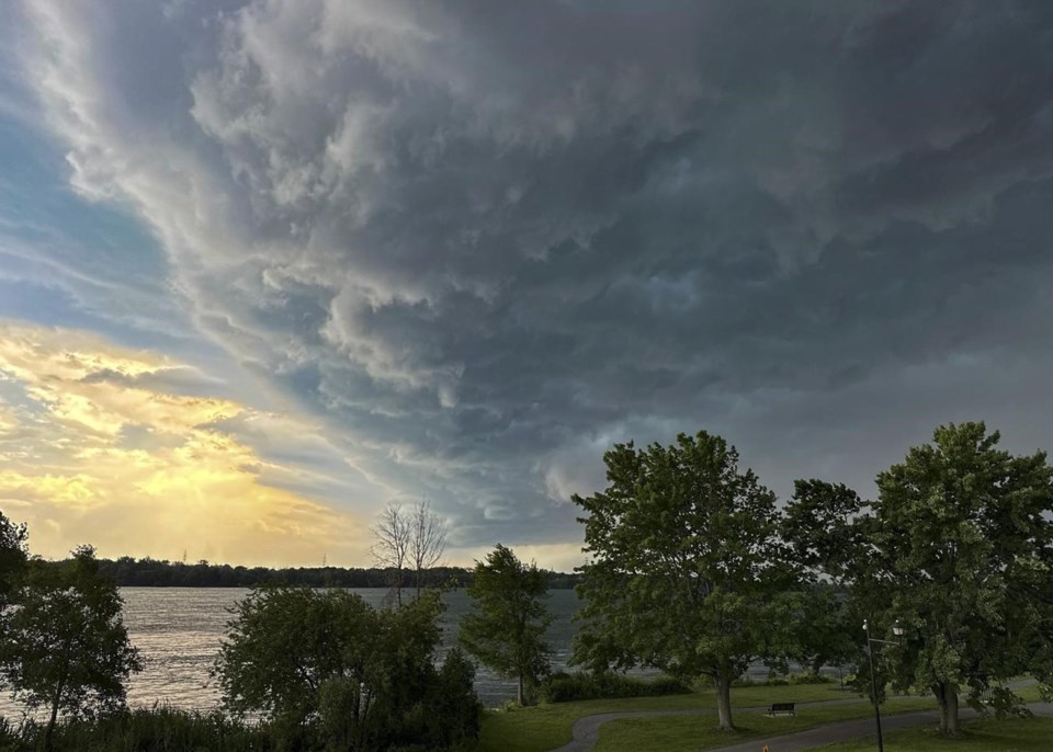
Climate change is increasing the frequency and severity of storms, including tornadoes, hurricanes and damaging thunderstorms that can sometimes bring flash floods.
All but one of the new towers replaced existing ones that were more than two decades old and had become unreliable and outdated.
The one tower servicing a new area was built near Fort McMurray, Alta., to improve coverage in northern Alberta and northwestern Saskatchewan — a region that has more than its fair share of severe weather.
The new station at Aldergrove, B.C. was finished just in time to help forecasters with the atmospheric river that devastated the Fraser Valley in the fall of 2021.
The old towers took 10 minutes to complete a full scan, and could only reach out to a 250-kilometre radius. They weren't powerful enough to penetrate a heavy storm and see whether more rain or ice was coming in behind it.
The new technology provides 10 times as much data, can better distinguish between types of precipitation and can even detect the presence of birds, insect swarms or debris from tornadoes.
The faster scanning and more accurate data can help Environment Canada pick up on dangerous weather and send warnings to Canadians faster. It should give Canadians more time to take cover when severe weather is imminent.
Guilbeault said the new systems are "state-of-the-art" and the envy of other countries.
"In fact, some countries are talking to us about learning from what we've done and maybe eventually copying what Canada has done," he said.
The system covers almost all of southern Canada, but the North is left out, mainly because the stations require regular road access, reliable electricity and high-speed internet to operate.
Environment Canada said most northern communities have a surface weather station nearby and full satellite coverage. They are also covered by the national lightning detection network.
This report by The Canadian Press was first published May 10, 2024.
Mia Rabson, The Canadian Press


